Located on the coastal fringe of the Brouage Marsh, between the Marennes peninsula to the south and the Moëze hillsides to the north, the Moëze Marsh was formed over time by the progressive silting of the Gulf of Saintonge with the alluvial deposit coming from the Charente River. The marsh was gradually transformed by man into a salt marsh through digging and dyking, and it has kept its typical landscape of humps and canals. After the activity in the salt marshes gradually stopped, the old salt farming parcels in the heart of the marsh gradually silted and were converted, from the 19th century, into hay meadows and pasture, and some of the parcels were rehabilitated and used for oyster farming. Some parts of the marsh were more recently dewatered for cereal farming.
This site has a wide range of wetlands favourable to the installation and the development of a remarkable biodiversity. Located in the heart of a bird migration route and offering suitable habitat, it is of major importance for the wintering, the refuge and the migration of a large number of water birds and it was partly included in 1985 in the national natural reserve of Moëze-Oléron.
On this vast marsh with a rich historical, natural and human heritage, the coastal dyke is weakened by recurring extreme weather events. Several scenarios of management and evolution of the coastline need to be studied before a decision is taken.
Project for the site
The earth dyke located on the seashore on the site of Moëze is constantly subject to the assaults of the waves and needs frequent maintenance. The scarcity of the materials needed for its rehabilitation makes it increasingly difficult to maintain. Further north, a dune bar weakened by erosion provides protection from the sea. The Conservatoire wishes to work on the evolution of this site through a public consultation and a shared approach. Different scenarios of coastline management will be studied and analyzed according to local issues of landscape, biodiversity, economy and social perception. This will provide elements of reflection and will help the consultation and decision making process.
Site chronicle
2016
- Historical and landscape diagnosis of the Brouage Marsh – ENSP.
2017
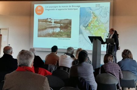
- March: Presentation of the landscape diagnosis at the Marsh Forum.
- March to August: Agricultural diagnosis – Conservatoire du littoral/Chamber of Agriculture of Charente-Maritime.
- August: Presentation of the agricultural diagnosis to the farmers of the marsh.
- October: signature of the Life adapto Grant agreement.
2018
- January: Launch of the BRGM study that will shape different scenarios of coastline management.
- May: Technical Committee - presentation of the construction of the BRGM hydrodynamic shaping method.
- September: Technical Committee - presentation of BRGM’s first shaping results.
2019
- February: Committee of Mayors of the Brouage Marsh Agreement - presentation of the first coastline management scenarios.


